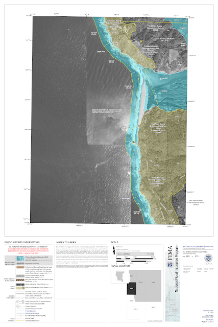
For this assignment I really enjoyed using FEMA's National Flood Hazard Layer (NFHL)Viewer . From the flood data research earlier in the semester, I found that the two most likely sites for flooding on the Klamath were from the confluence of the Trinity downstream to the mouth of the river at the Pacific Ocean near Klamath and Requa, CA. Its a very interactive ArcGIS site where you can follow the length of the river and it will layer in blue the possible flood plain. The maps are divided into FIRM Panels and you can zoom in and download each panel. This is the the Pacific to the Trinity River: And this is around Seiad Valley, upriver a ways: Clearly some of the files download differently, but on the site, you can zoom in all in color, and the basic blue layer of the flood plain usually is marked with the letter A. It was helpful to explore the Klamath County Flood Insurance Site to understand what the lettering meant. On this site, a landowner or homeowner can search their parcel ...

Comments
Post a Comment